Resilient Coasts for Salmon is part of the PSF
Marine Science Program
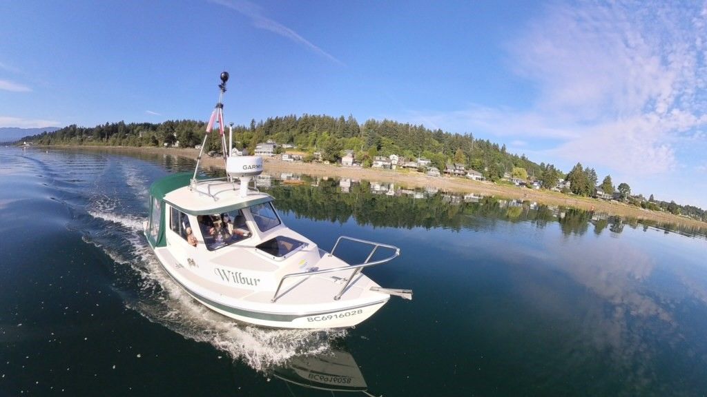
Wilbur the boat is outfitted with a 360 degree camera. Secured to a tripod on Wilbur's hardtop, the camera captures continuous video and high-resolution imagery of the shoreline. The footage is captured at high tide, and we need calm weather conditions to make sure the camera is steady.
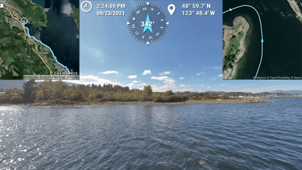
The imagery collected is linked with the boat's GPS and can be mapped. In the image to the left you can see track lines of the boat coupled with the location and view of the shoreline. We will use the track lines and high-res photos to mark key features that we see on the shoreline.
This will help us determine how much of our shorelines are natural, and how much has been modified with structures such as seawalls. Throughout the project, Wilbur will be making his way up the east coast of Vancouver Island capturing imagery of the entire coast. To view our current coverage of the coast, check out the imagery on Mapillary.com. The imagery will then be reviewed and coastal modification features will be digitized These data will be publicly available in the Marine Data Centre’s Marine Ecosystem Map — where you can visualize the extent of hard armour and other coastal modifications at local scales, and how this intersects with vulnerability to sea level rise, and countless other factors.