Resilient Coasts for Salmon is part of the PSF
Marine Science Program
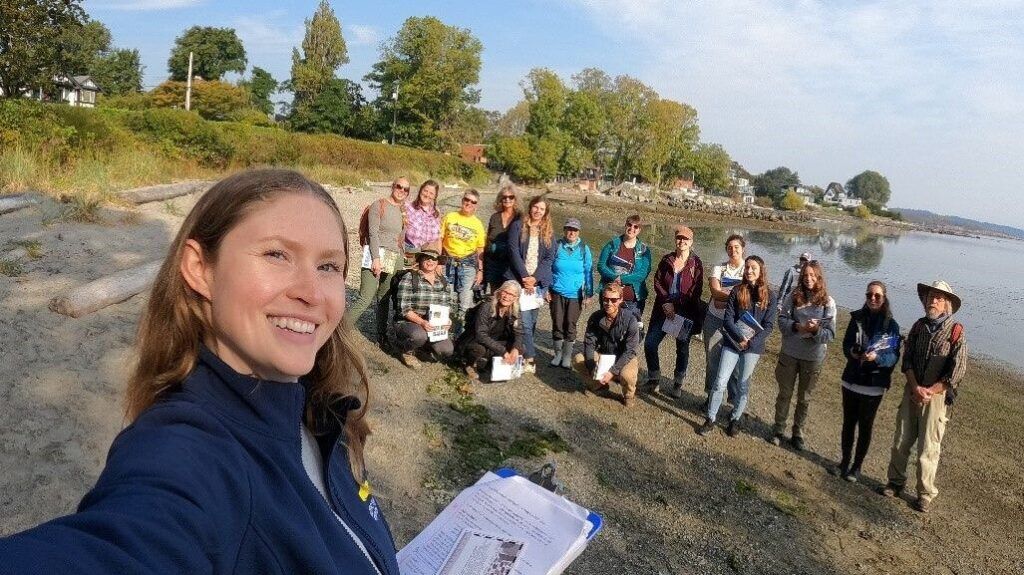
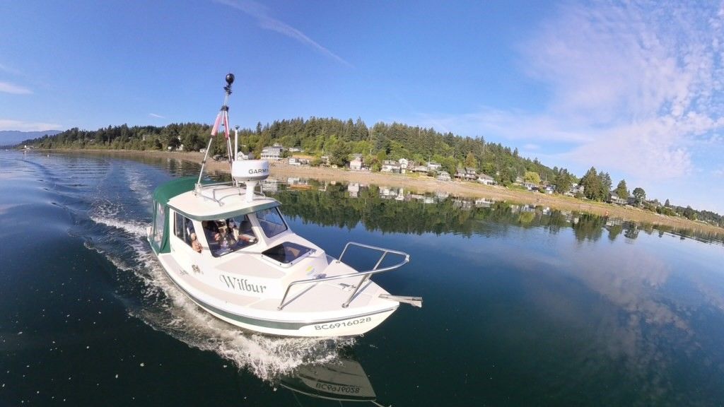
The extent of coastal hard armouring (like seawalls) is currently a data gap, but would provide valuable information to prioritize community actions to better adapt to sea level rise. So we embarked on our journey to map the entire east coast of Vancouver Island — some areas by foot with local citizen scientists and others by boat.
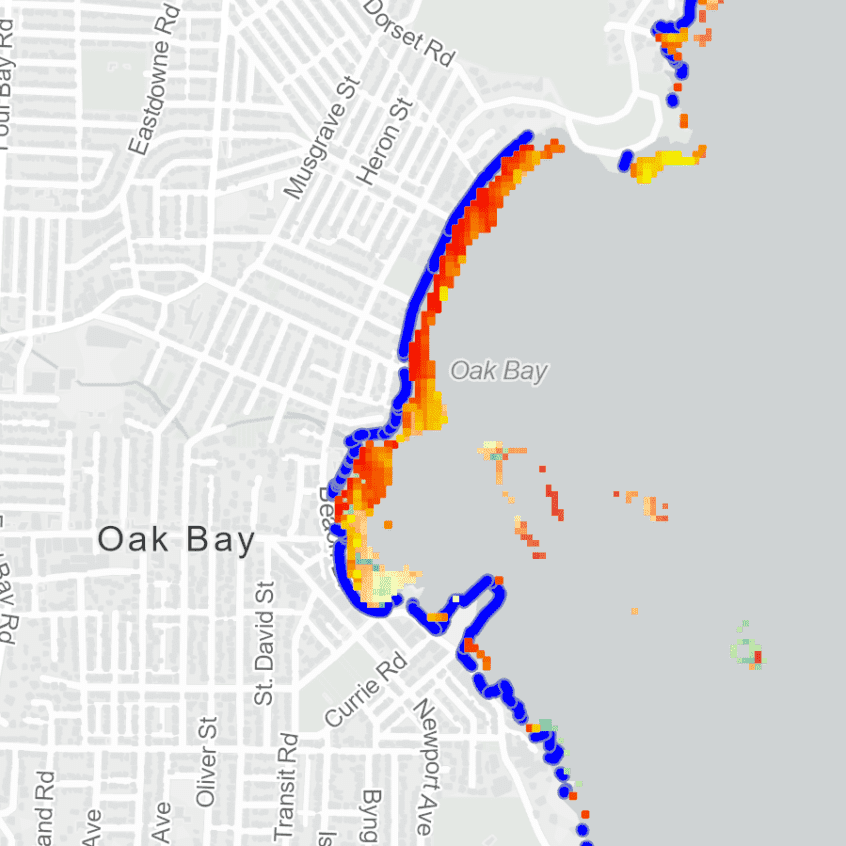
The priority is to collect information on the extent of local shoreline hardening to be compiled with high-resolution topographical shoreline data and imagery and other local nearshore and estuary habitat layers into the Marine Data Centre's new Marine Ecosystem Map.
Once the data are complied, summary reports will be created for each community of focus, and these will be made available on our website. We will also host community meetings to share our findings on the extent of hard armouring and discuss the implications. Along with the results from boat monitoring, we will share key imagery, maps, and provide an opportunity to discuss hypothetical options for adaptation and restoration, and finish with a live Q&A session. If you are interested in joining a mapping workshop or attending a community meeting, be sure to register for the Resilient Coasts newsletter and keep your eye on your inbox!
COMING SOON
Check out our community reports and interactive data viewer to learn about the extent of coastal modifications, overwater structures and log accumulation throughout eastern Vancouver Island.
There are a number of expected benefits from this effort, namely:
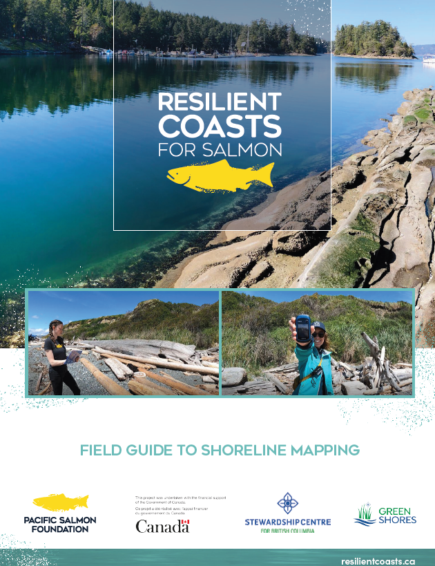
If you are curious about mapping, how it is done or would like to try your hand at it, you can download our Mapping Field Guide.